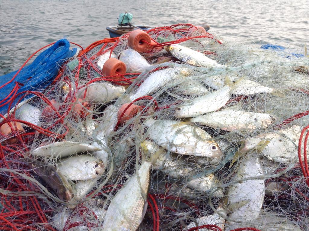
While the Food and Agriculture Organization (FAO) collates catch data accumulated and volunteered by countries and helpfully digests them into a publicly available biannual report, this leaves various holes in the net.
One of these holes is an insidiously unknown quantity: illegal, unreported and unregulated (IUU) fishing. The rising demand for seafood unfortunately supports a highly profitable illegal fishing sector—one report estimates it is the sixth most profitable transnational crime sector—to the detriment of sustainable efforts to manage global fisheries. Since this World Oceans Day’s theme is “Innovation for a Sustainable Ocean”, it is important to underline two publicly accessible data innovations in global fisheries governance that aim to support combatting IUU fishing.
One promising governance development in recent years is the 2009 Port State Measures Agreement, which entered into force in 2016. The idea is that, even if states lack the capacity to patrol all their waters, they can at least limit the illegal fish landed or transferred at their ports. But compliance varies. Released in January last year, the IUU Fishing Index uses a suite of 40 indicators to measure how well coastal states tackle IUU fishing in their ports, their coastal areas, and on vessels flagged to that state. It can thus help locate where compliance is lacking and thus where further support is needed, though it remains to be seen whether such shaming mechanisms affect political will and induce behavioural improvements or just polarise engagement.
Sadly, illegal maritime activity generally occurs far from the scrutiny of capable coast guards or port authorities. And transshipment, where vessels trade catch to refrigerated ships for fuel, further frustrates attempts to identify fishes “origins” and hold crews and companies to account. Launched in September 2016, Global Fishing Watch (GFW) leverages the Automatic Identification Systems (AIS) that most large vessels use (or have to use) to avoid collisions and support rescues to map the paths of more than 70,000 fishing vessels “in near real-time”. Machine learning identifies the paths (and patterns of AIS disuse) that suggest when vessels are likely trawling or shifting catch between them. These maps reveal trends about the prevalence and reach of fishing, and when individual vessels are fishing where they shouldn’t be. For example, GFW helped Kiribati identify and extract a USD 2 million fine (about 1% of their GDP) from a fishing company for violating a marine protected area. Since then, several governments have jumped on board, offering their own vessel monitoring system data to GFW.
If the current pandemic has taught us anything, it is the value of good data. The wrong measure or baseline can obscure more than they reveal. Without good data, governments, regional fisheries management organisations, donors and civil society cannot hope to identify where interventions are necessary and what interventions work under the circumstances. While no panacea exists, these data innovations, if built upon, can help us move towards a more sustainable ocean.


